
Derive new layers from any DSM or DTM
Computed on our hardware at the resolution you choose, with a live log while they build. Each opens in 2D and 3D, downloads, and serves straight to your GIS.
- Slope
- Aspect
- Hillshade
- nDSM
- Contours
Send the raw drone and LiDAR survey up once. Get orthomosaics, surfaces and classified point clouds back in your browser — then keep working on them: derive new layers, measure your own volumes, and issue as many reports as the month needs.
Most survey engagements end at a delivery folder. This one ends at a live workspace: the data your team acts on stays in the platform, under your own hands, between one flight and the next.
Raw imagery, LiDAR and logs, straight from the machine that holds them. No courier, no hard drive, no link that expires.
Run photogrammetry in the platform yourself, or hand it to our back office and follow every production step.
Derive layers, measure volumes, draw profiles and compare surfaces — without a GIS licence or a change request.
Configure and issue drawing-office sheets, approved and signed, as often as the month needs them.
Files go up from wherever they already sit — up to 200 GB each, resumable, carrying on in the background while you work elsewhere in the platform.
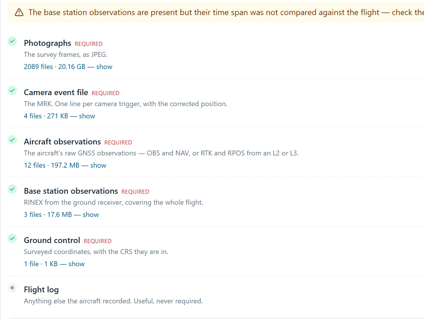
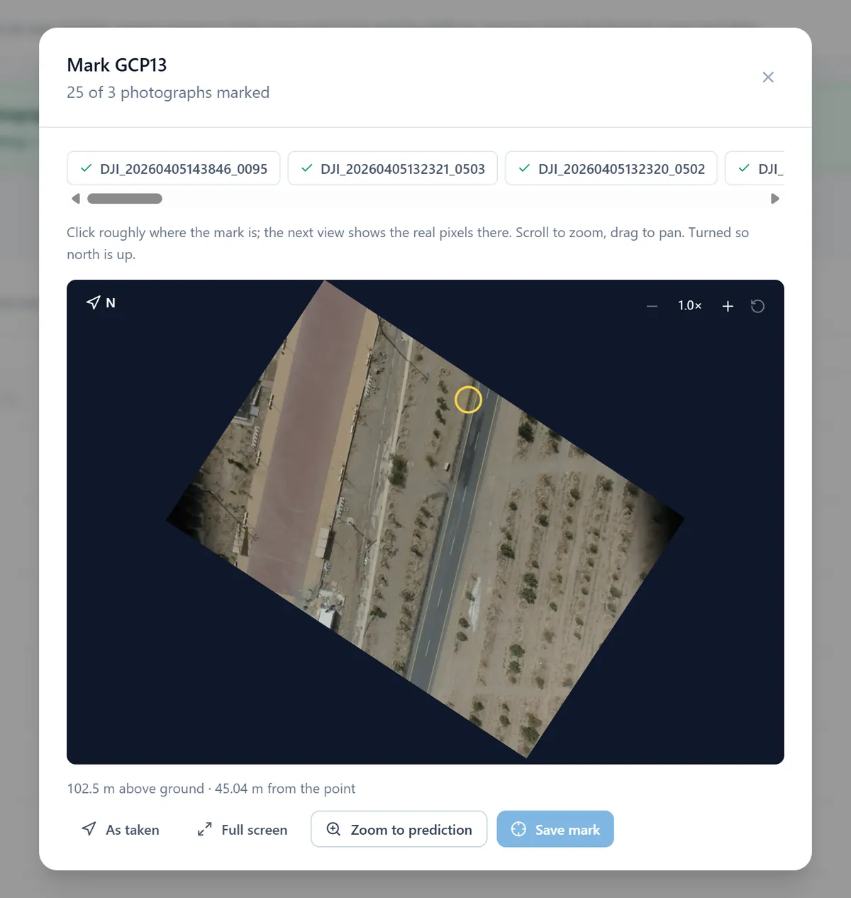
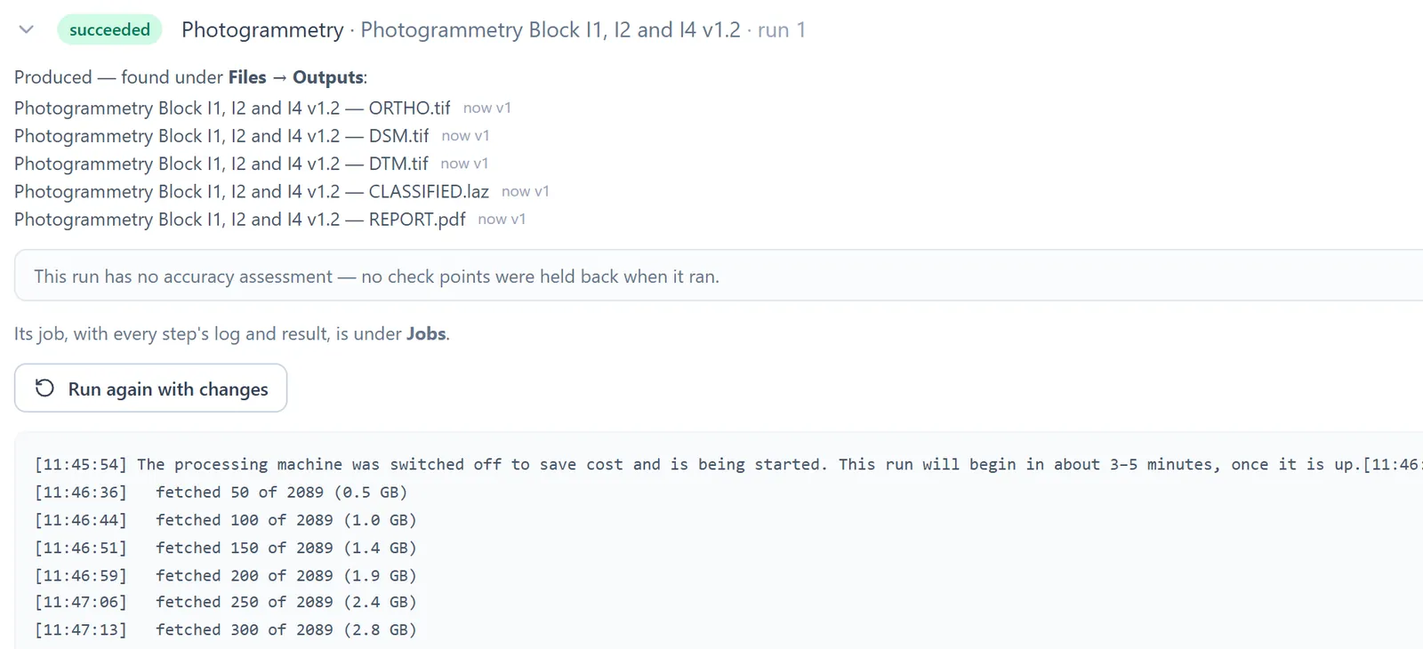
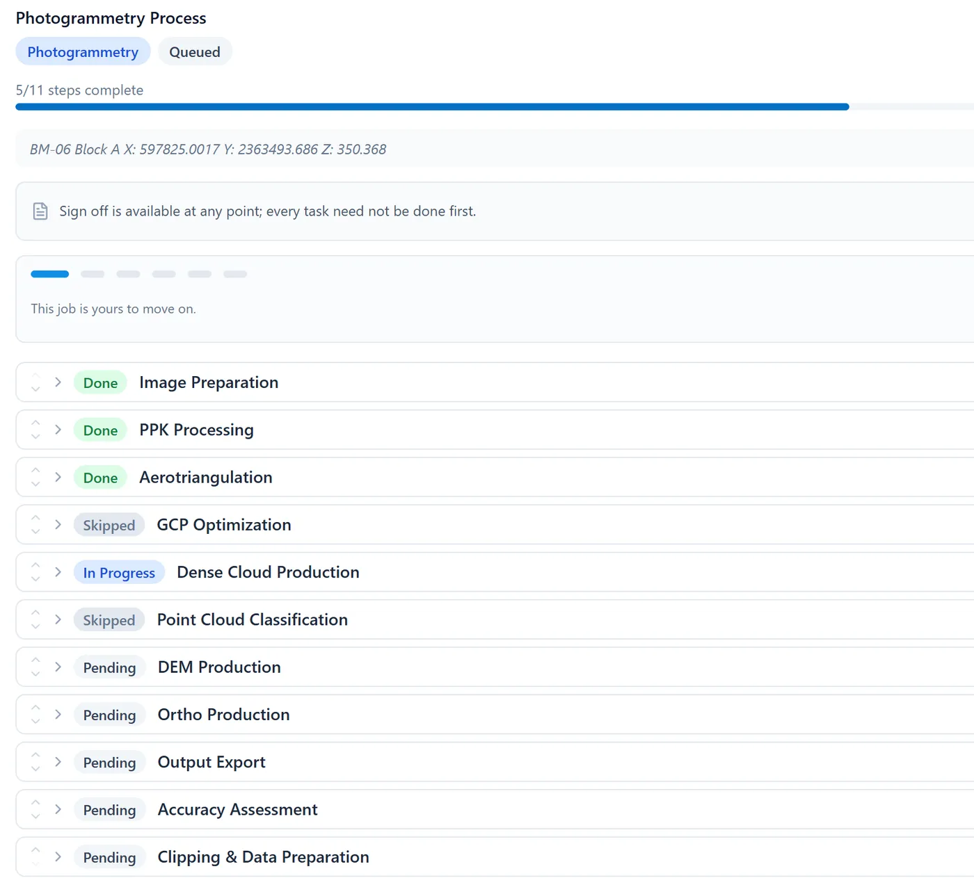
“Where are we on this survey?” becomes a page anyone on your team can open — instead of an email to somebody who has to go and find out.
Every ready output is a working layer, not a download — and the tools that act on it sit in the same browser tab, available to your own project managers.
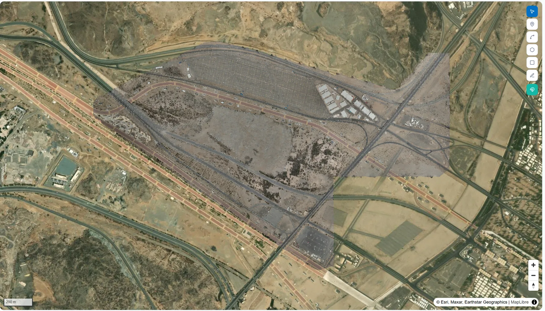
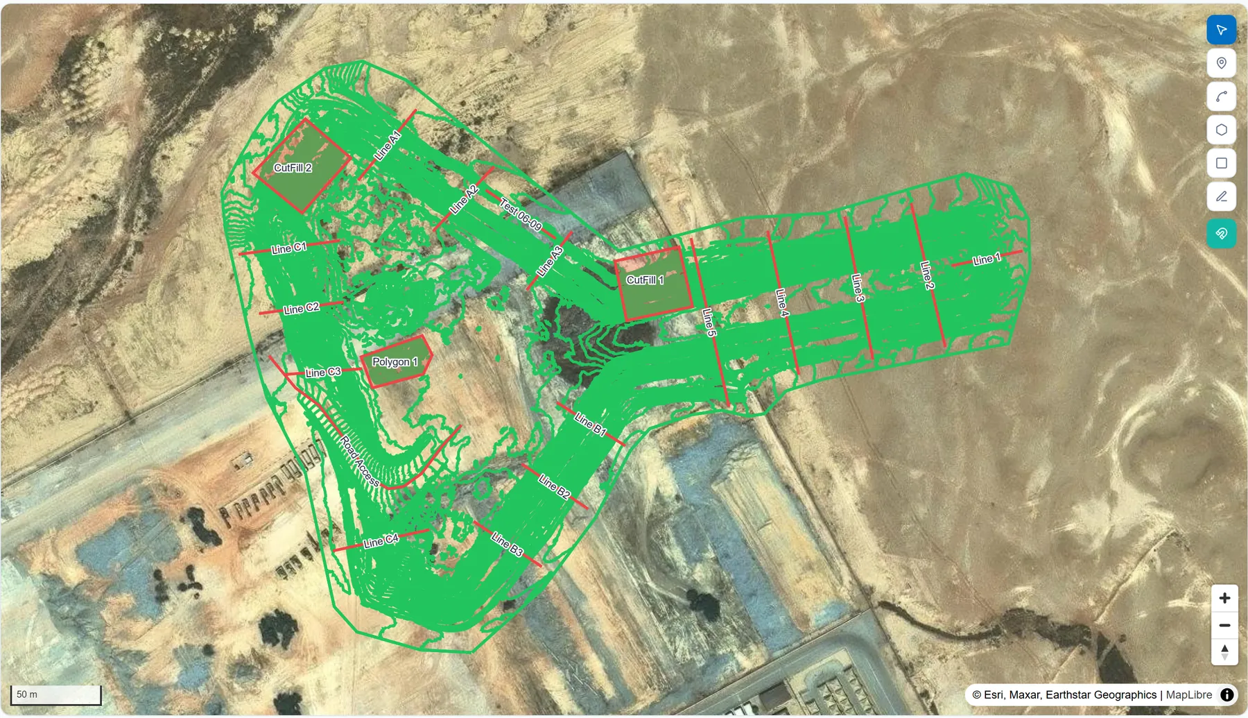
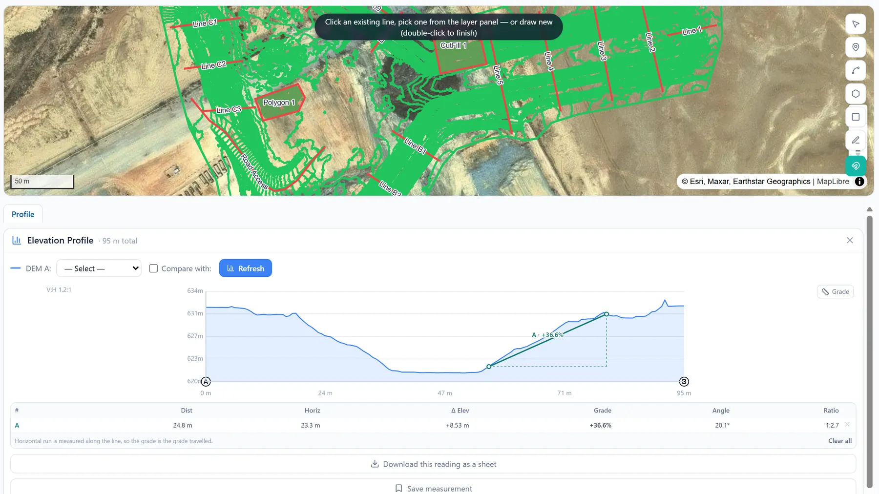
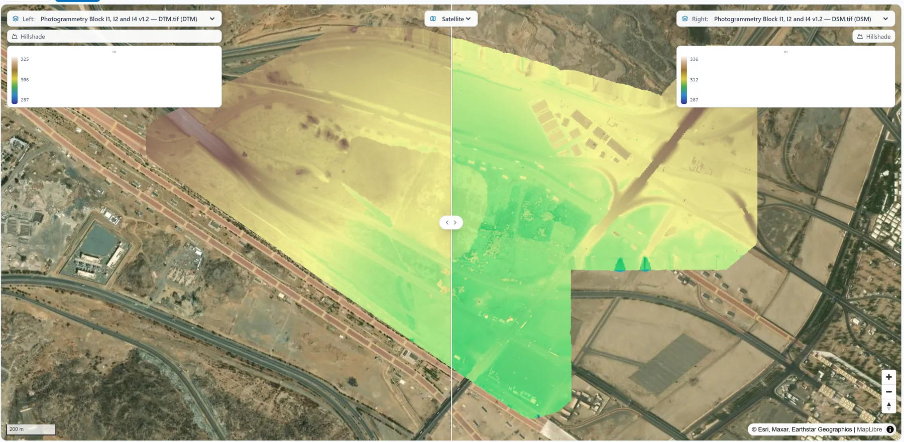
Computed on our hardware at the resolution you choose, with a live log while they build. Each opens in 2D and 3D, downloads, and serves straight to your GIS.
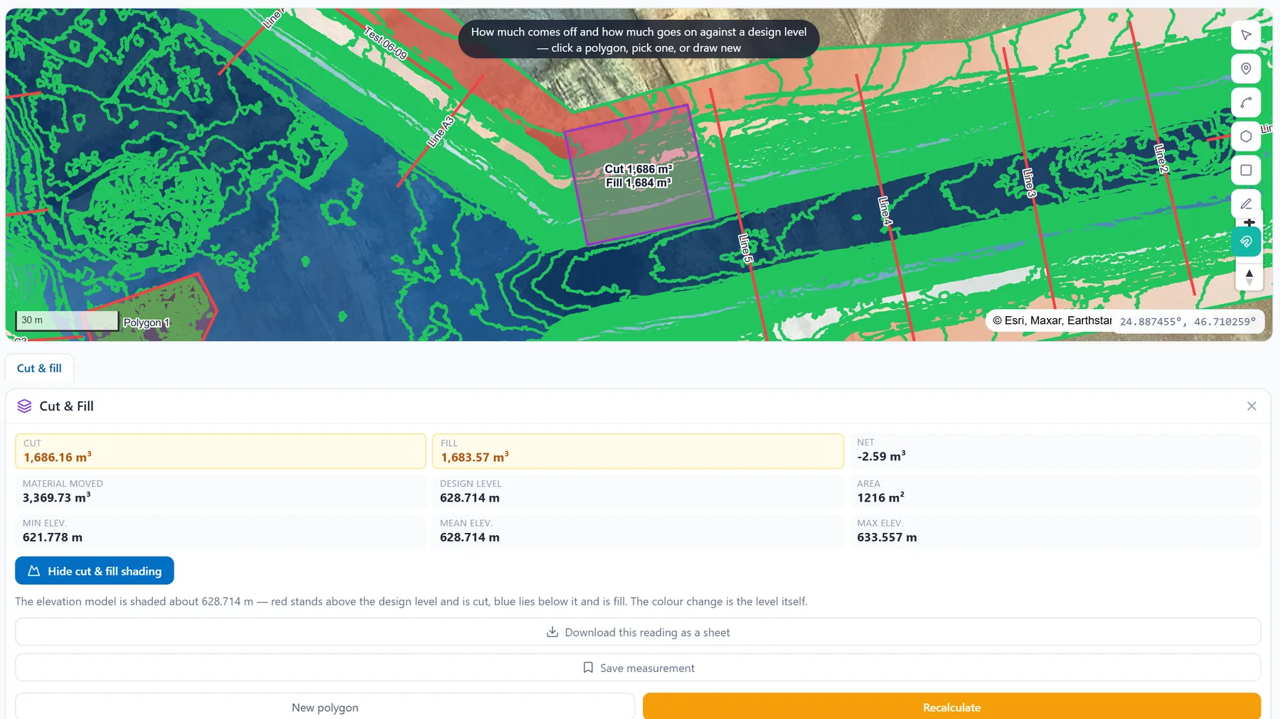
Cut, fill and net reported separately against the base you choose — a design level, the polygon’s own perimeter or a triangulated base — so a stockpile and an excavation are both measurable. Plus profiles, grade against a design figure, slope along a haul road, high and low points, distance and elevation pick.
Points, lines, polygons and rectangles — drawn, snapped, styled, grouped and reshaped — shared between the 2D map and the 3D globe, which reshapes the terrain to your DSM rather than a generic landscape.
The volume you need on Thursday is one you can take yourself on Thursday — not a scope variation with a lead time attached.
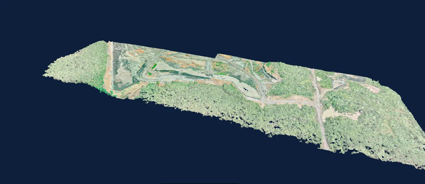
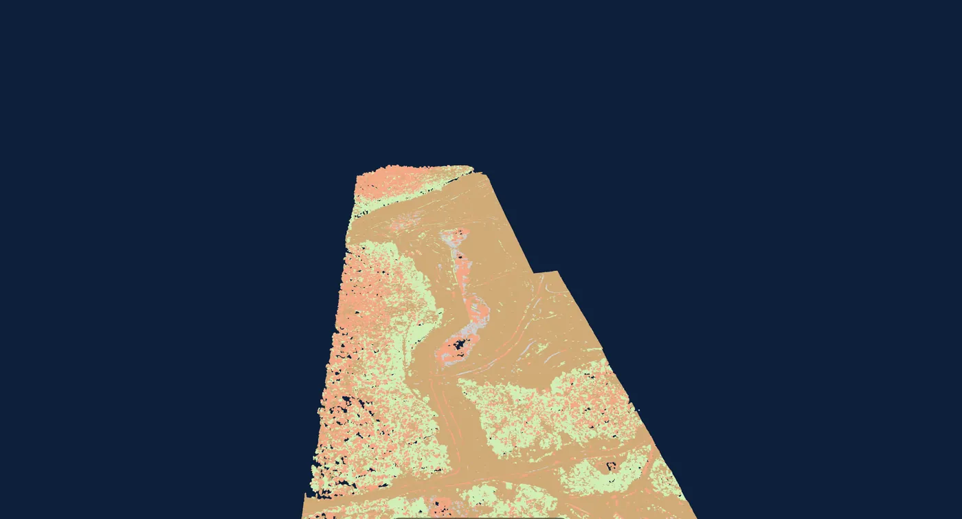
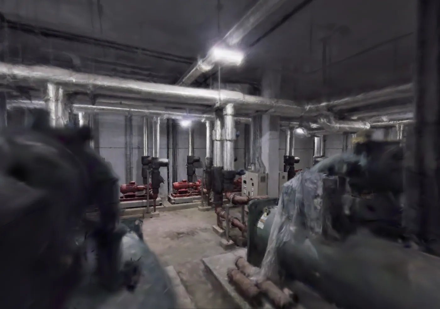
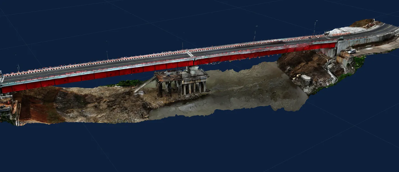
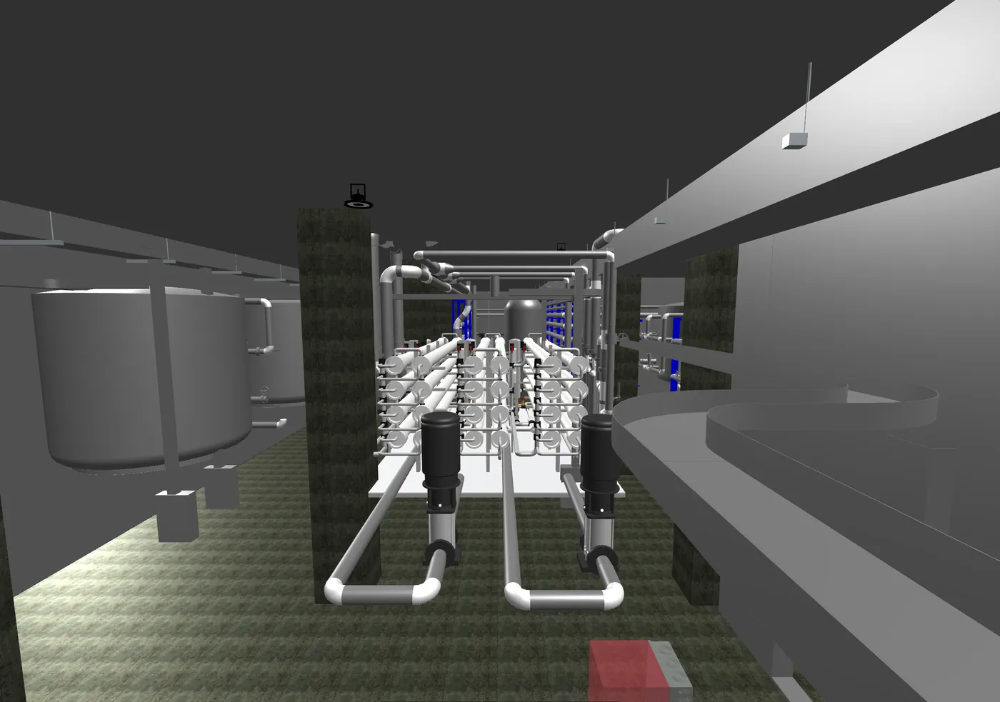
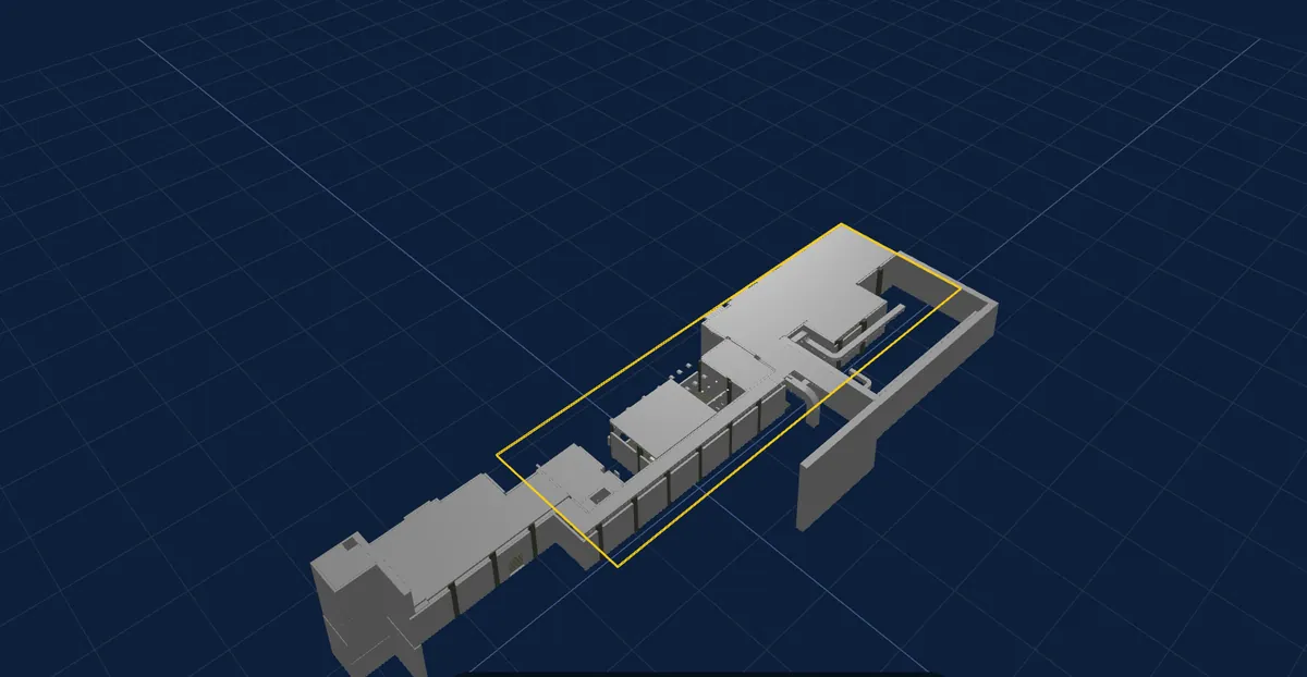
Point clouds, textured meshes, Gaussian splats and BIM models open in the browser next to the layers they belong to. Nothing to install, nothing to hand round on a hard drive.
Reports are configured by your team from your project’s own layers and shapes — not requested, quoted and waited for.
Pick the surfaces the sheets are measured from, the shapes to include and how they cluster. Give a material, density and price per stockpile and tonnage and value appear; leave them blank and those columns are left out, not printed empty.
Sheet, station and cross-section intervals; the half-width either side of a centreline; vertical exaggeration printed on every plot; contour underlay; A4 or A3; your own title block and file naming.
Report figures come from the same calculation the viewer runs on the same polygon. A shape reshaped since it was last measured is recalculated, never printed stale.
Approval freezes the configuration, so the PDF with your client keeps matching what the platform renders. Withdraw one and it reissues as the next lettered revision — nobody holds two different Rev As.
Each issued report carries a verification that a regulator, an auditor or a buyer can check for themselves — without an account, and without taking anyone’s word for it.
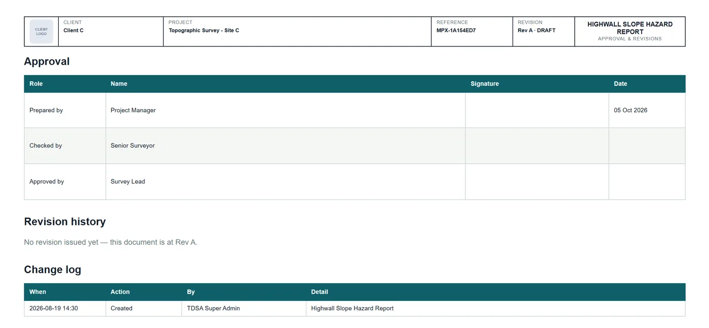
Month-end reporting stops being a procurement exercise and becomes an afternoon.
Import vector work as it is, or a plain spreadsheet of coordinates or WKT through a column-mapping and CRS step.
Export your annotations and measurements, and download any output in its native format.
Every ready raster publishes authenticated map services, and your vector work is served as WFS. Point your desktop GIS at the live layer and it stays current — no stale copy on somebody’s desktop.
KSA-GRF17 and the KSA UTM zones on ingest and export, with a CRS badge on every raster output — verified, not assumed.
Roles from administrator to view-only, including a read-only auditor, plus project-level isolation: being a valid user is not by itself enough to open a project. A third party can be given one project, view-only.
An append-only audit log of every login, upload, status change, export and report generation. Filterable, and exportable to CSV.
Two-factor sign-in is mandatory on every Terra Drone staff account that can reach client data, and available to your own team.
Hosted in the Kingdom, in Google Cloud’s Dammam region — the platform and the processing engine alike. PDPL compliant.
A plain-language question box on every page, answering only from the projects you can already see. It reads; it cannot change anything; and every question is logged.
Mining and construction operators in the Kingdom who commission repeat aerial survey, and who need the results to be reviewable, repeatable, and defensible to a regulator, an auditor or a buyer.
A walkthrough runs about thirty minutes, on a live project — with your own data, if you would like.
Or write to info@terra-drone.com.sa